Flexnet Commander displays all necessary sensor data in a user-friendly, map-based interface that gives the operator full control of the operation of the entire UGS system.
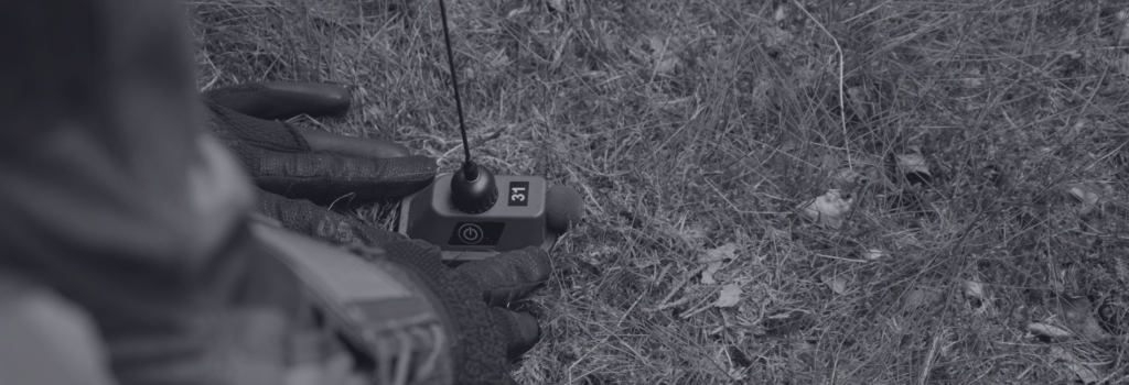
Flexnet Commander combines a map based overview, a mission log and an image viewer in a single application. Unattended Ground Sensors (UGS) fitted with an internal GPS receiver are automatically reported and displayed on the map in Flexnet Commander.
This enables rapid deployment without need for manual positioning of sensors in the control software. The graphical representation provides a clear picture of the operational environment.
Key benefits
User-friendly and intuitive
Adapted to touch interfaces
Display of alarms, pictures and status of the deployed sensors
All Unattended Ground Sensors (UGS) and nodes are geographically represented on the map by unique color-coded symbols
All device settings can be changed remotely
Hourly status reports from each sensor are automatically sent and displayed
The alarm log details all events including time and classification data
Event view allows grouping of alarms into events
Graphical representation of mesh network routing for all nodes
Filter functionality allows the operator to filter alarms and events to search for specific events
Allows usage of OpenStreetMap (requires internet connection)
Can be installed on any Windows, Linux or Android device
FLEXNET components
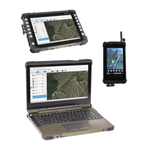
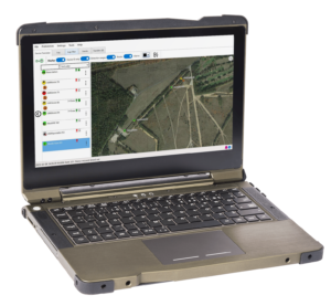
Flexnet LaptopCommand & Control system
To meet with the most stringent requirements of field operations, Bertin Exensor offers a rugged 13.3” Windows-based laptop, with a damage-resistant touch pad and a lightweight design to fit easily in a backpack.
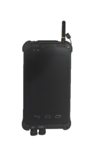
The Flexnet PDA is an Android-based Personal Digital Assistant (PDA) able to communicate with all Flexnet sensors using an integrated short-range radio. The Flexnet PDA includes the Flexnet Commander application providing precise and reliable information to the operator.
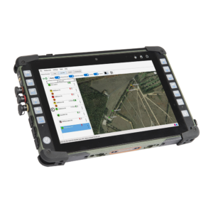
The 10.1-inch Flexnet Tablet is a Windows-based device containing the same short-range radio as all Flexnet sensors allowing communication between them. Among its many functionalities, it features the Flexnet Commander software operating the Flexnet Unattended Ground Sensor system remotely.
The collection of the requested information is necessary to process your request. After you filled this form, we will send you targeted information about site surveillance and occasionally service offers, event invitations or any other information related to our activity. To know and exercise your rights, including the withdrawal of your consent to use the data collected by this form, please consult our privacy policy.